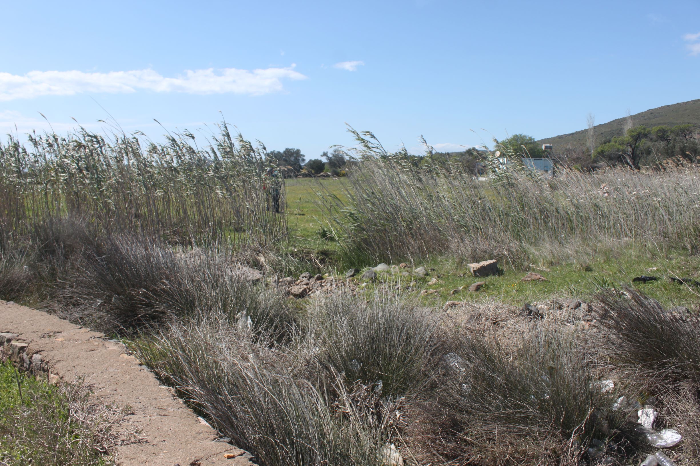
Located on the north-east of Patriçia Peninsula, at 6 km distance of Cunda Island centre, Beşkuyular Wet Meadow is a seasonal wetland system covering 11.0 ha. The main water source is the underground water, which gives the wetland its name (kuyu=draw well), small streams and precipitation. Salt water intrusion to the site is presumably reduced after the construction of the road following the coastline, causing a reduction in the ground level. Grazing and olive farming are the main human activities. Main habitat types are Mediterranean tall humid grasslands of the Molinio-Holoschoenion (6420) and Beds of large sedges (72B0).
Wetland data
Basic information
Wetland location:
Marine/Coastal
Wetland type:
Natural
Wetland area:
11.0 Ha
Hydrological interaction:
-
Water salinity:
Salty (> 18.0 g/l)
Open water area (%):
51 - 75
Hydroperiod:
Temporary/Intermittent
Geographic information
Province:
Balikesir
Municipality:
Ayvalik
Island:
Alibey (Cunda)
Longitude:
26.621111 East
Latitude:
39.380053 North
Wetland condition
Wetland status (MEDWET):
2 - Original habitats/landform still predominant (>50%)
Ramsar wetland type
Type
Coverage (%)
9 -- Canals and drainage channels, ditches
5 - 25
Zk(b) -- Karst and other subterranean hydrological systems, inland
26 - 50
Property status
Government - Municipal
Protection statuses
Protection status category
Protection status subcategory
Area's name
Coverage area (%)
Legislation
National
Nature Park
Ayvalik Islands Nature Park
100
National
Natural Protected Area
100
Ecosystem services
Type of ecosystem service
Ecosystem service
Scale of Βenefit (%)
Importance
Nothing
Activities on wetland
Activity
Intensity
530 = Improved access to site
Medium
700 = Pollution
Low
703 = soil pollution
Low
Activities on catchment area
Activity
Intensity
502 = roads motorways
530 = Improved access to site
Medium
970 = Interspecific floral relations
Medium
Impacts
Impact
Intensity
HF- = Habitat fragmentation
Medium
VC- = Change in vegetative species composition
Low
VCD = Loss of floral diversity
Low
VP- = Decrease in population of floral species
Low
VS- = Change in vegetative structure
High
VS- = Change in vegetative structure
High
Habitat types
Type
Coverage (%)
6420 Mediterranean tall humid grasslands of the Molinio-Holoschoenion
51 - 75
72B0 Beds of large sedges
5 - 25
Vegetation types
Type
Coverage (%)
Other
76 - 95
Flora
Species
Presence status
References
Arundo donax
Atriplex portulacoides
Ecballium elaterium
Juncus maritimus
Limonium angustifolium
Phragmites communis
Scirpus maritimus
Fauna
Birds
Number of individuals
Nesting
References
Larus michahellis
Corvus monedula
1-10
Possible nesting
Emberiza calandra
1-10
Possible nesting
Galerida cristata
1-10
Possible nesting
Images
WWF Turkey. (2018). TrIsWet – Database of the Turkish island wetlands. Updated: 04.2024