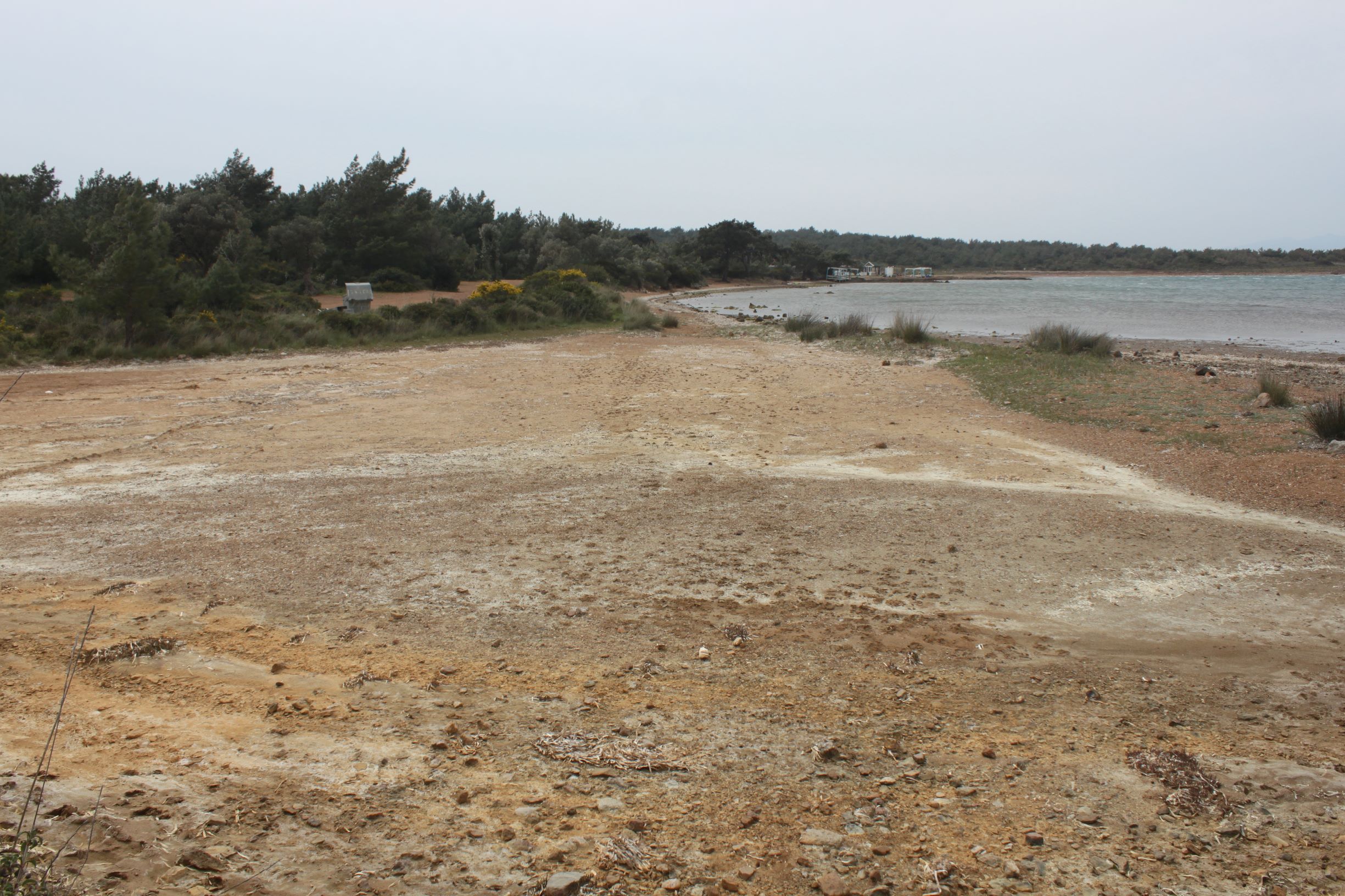
Harbour Road Sand Flat is a tidal sandflat located on the northeast of Cunda Island, next to the road to the harbour. It covers an area of 0.2 ha and dominant habitat type is recorded as 1140 Mudflats and sandflats not covered by seawater at low tide (%76-95) whereas 1410 Mediterranean salt meadows (Juncetalia maritimi) covers a small area (<%5). Sandbank and Posidonia beds are on the coastal line. On the elevated surrounding zone, salt accumulation is observed on surface of the sediments. The depression zone is a saltflat.
Wetland data
Basic information
Wetland location:
Marine/Coastal
Wetland type:
Natural
Wetland area:
0.2 Ha
Hydrological interaction:
-
Water salinity:
Salty (> 18.0 g/l)
Open water area (%):
< 5
Hydroperiod:
Temporary/Intermittent
Geographic information
Province:
Balikesir
Municipality:
Ayvalik
Island:
Alibey (Cunda)
Longitude:
26.637560 East
Latitude:
39.358204 North
Wetland condition
Wetland status (MEDWET):
2 - Original habitats/landform still predominant (>50%)
Ramsar wetland type
Type
Coverage (%)
G -- Intertidal mud, sand or salt flats
> 95
Property status
Government - Municipal
Protection statuses
Protection status category
Protection status subcategory
Area's name
Coverage area (%)
Legislation
National
Nature Park
Ayvalik Islands Nature Park
100
National
Natural Protected Area
100
Habitat types
Type
Coverage (%)
1140 Mudflats and sandflats not covered by seawater at low tide
76 - 95
1410 Mediterranean salt meadows (Juncetalia maritimi)
< 5
Vegetation types
Type
Coverage (%)
Wet meadow
< 5
Halophytic
< 5
Flora
Species
Presence status
References
Carex sp.
Elymus farctus
Juncus acutus
Pistacia lentiscus
Triglochin bulbosa
Images
WWF Turkey. (2018). TrIsWet – Database of the Turkish island wetlands. Updated: 04.2024