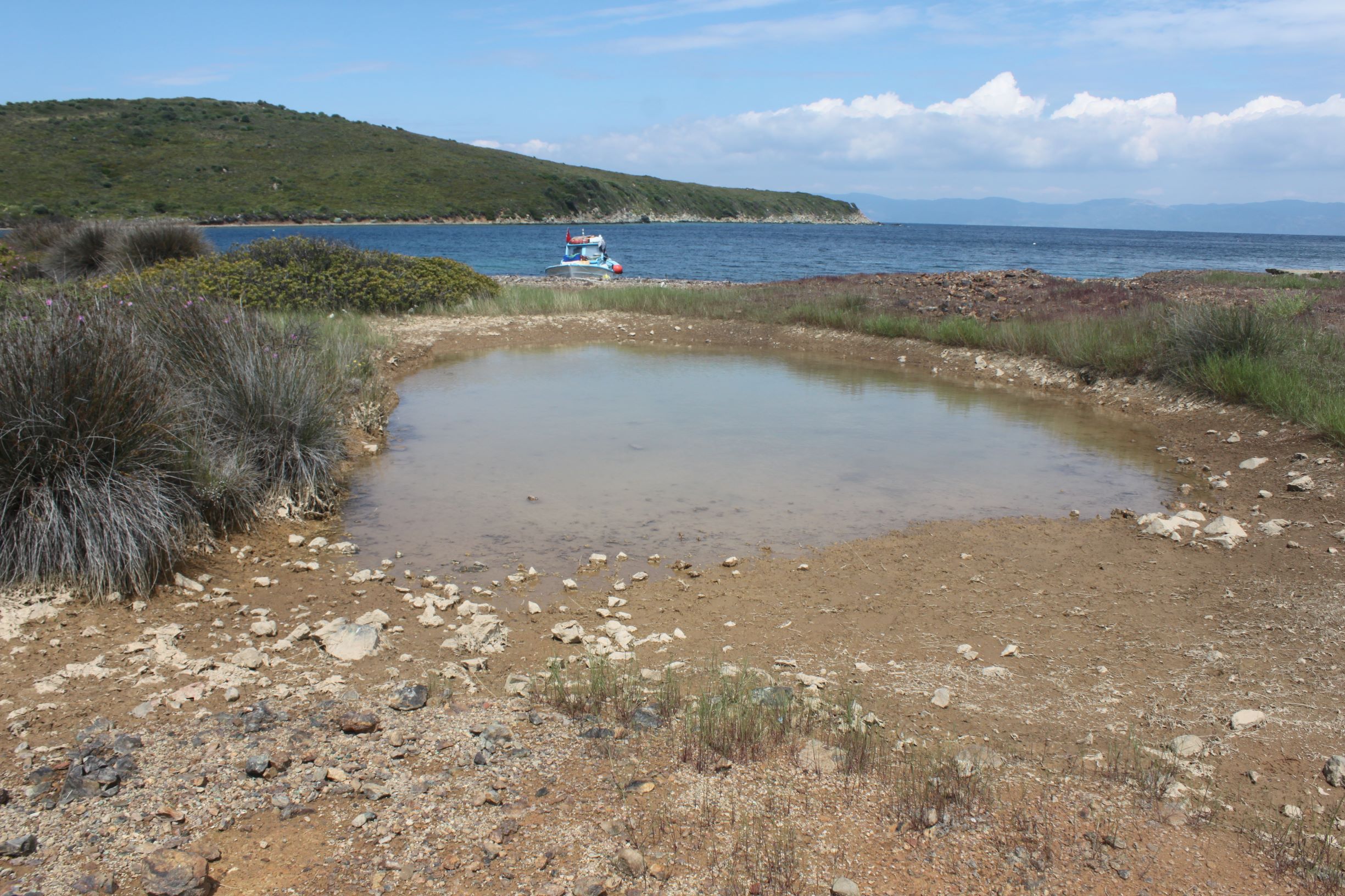
Located on the eastern coast of Maden Island at Ayvalık Municipality, the small wetland is fed by the precipitation and a small stream. The same stream also feeds AYV009. Next to the wetland is an old minery building and the depression area of the wetland might have been formed by humans. Affects of grazing are visible around the site. 1410 Mediterranean salt meadows (Juncetalia maritimi) is the habitat type recorded. The pond is also a breeding site for Odonats.
Wetland data
Basic information
Wetland location:
Marine/Coastal
Wetland type:
Natural
Wetland area:
0.5 Ha
Hydrological interaction:
Yes
Water salinity:
Fresh (< 0.5 g/l)
Open water area (%):
5 - 25
Hydroperiod:
Unknown
Geographic information
Province:
Balikesir
Municipality:
Ayvalik
Island:
Maden
Longitude:
26.585654 East
Latitude:
39.386775 North
Wetland condition
Wetland status (MEDWET):
2 - Original habitats/landform still predominant (>50%)