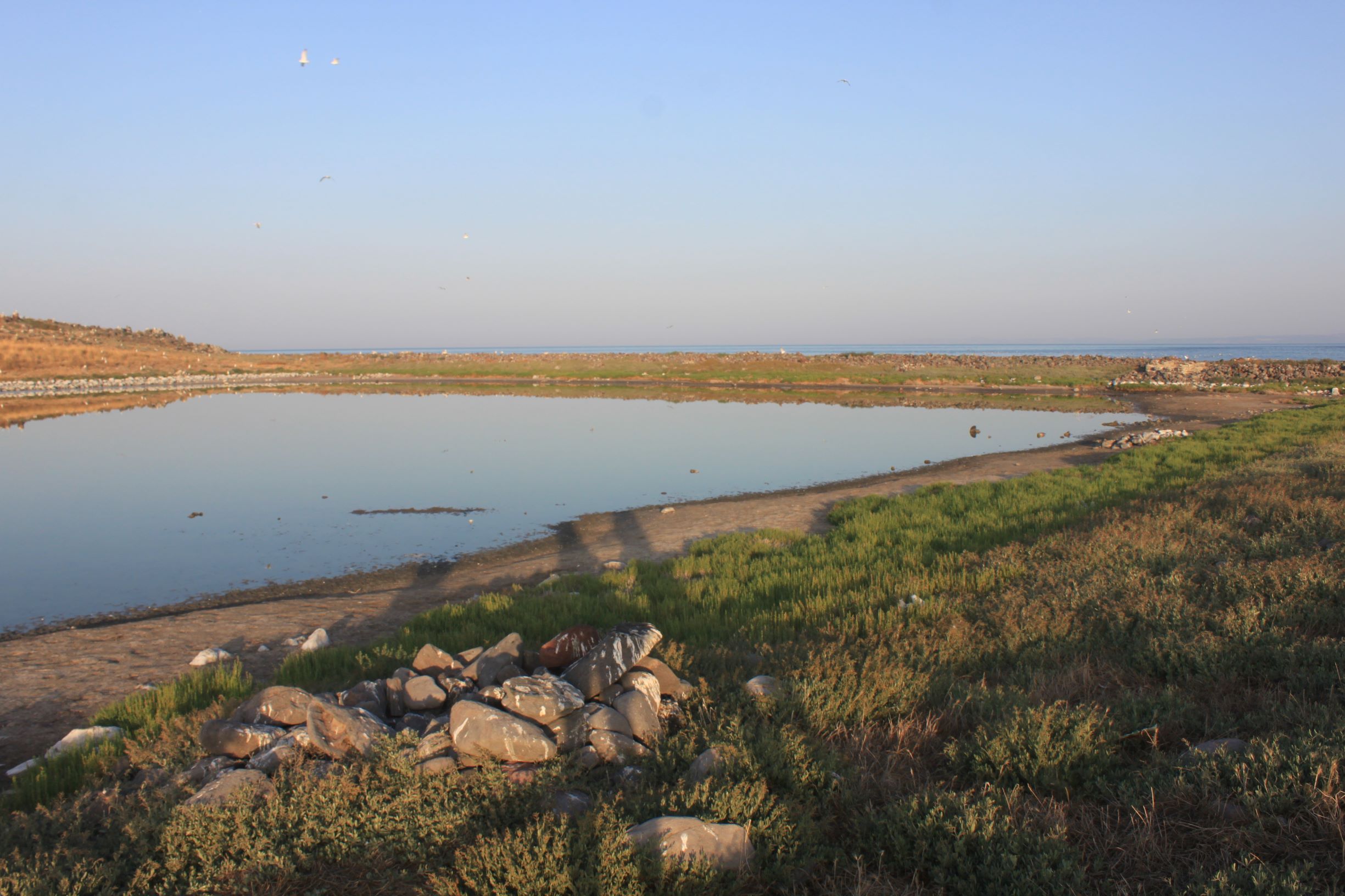
TR310CES001 - Cirakan Island Temporary Pond
Wetland data
Basic information
| Wetland location: |
Marine/Coastal |
| Wetland type: |
Natural |
| Wetland area: |
1.3 Ha |
| Hydrological interaction: |
- |
| Water salinity: |
Brackish (5.0-18.0 g/l) |
| Open water area (%): |
76 - 95 |
| Hydroperiod: |
Seasonal |
Geographic information
| Province: |
Izmir |
| Municipality: |
Cesme |
| Island: |
Cirakan |
| Longitude: |
26.437723 East |
| Latitude: |
38.187457 North |
Wetland condition
| Wetland status (MEDWET): |
2 - Original habitats/landform still predominant (>50%) |
Ramsar wetland type
| Type |
Coverage (%) |
| H -- Intertidal marshes; includes salt marshes, salt meadows, saltings, raised salt marshes; includes tidal brackish and freshwater marshes |
> 95 |
Property status
Protection statuses
| Protection status category |
Protection status subcategory |
Area's name |
Coverage area (%) |
Legislation |
| National |
Natural Protected Area |
|
100 |
|
Habitat types
| Type |
Coverage (%) |
| 1260 Sublittoral zone of the islets of the Aegean (halophytic meadows, phryganic-halophytic communities, chasmophytic-halophytic comm.) |
51 - 75 |
| 1510 * Mediterranean salt steppes (Limonietalia) |
< 5 |
Vegetation types
| Type |
Coverage (%) |
| Ammophilous |
< 5 |
| Halophytic |
51 - 75 |
Flora
| Species |
Presence status |
References |
| Aeluropus littoralis |
|
|
| Arthrocnemum fruticosum |
|
|
| Atriplex portulacoides |
|
|
| Crithmum maritimum |
|
|
| Hordeum marinum |
|
|
| Limonium gmelini |
|
|
| Salicornia sp. |
|
|
| Salsola soda |
|
|