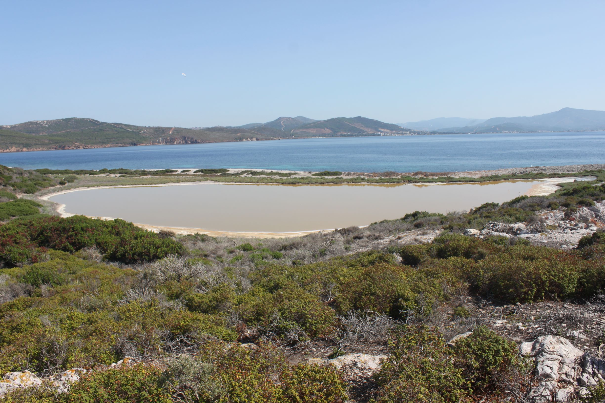
TR310DOG001 - Kanliada Pond
Wetland data
Basic information
| Wetland location: |
Marine/Coastal |
| Wetland type: |
Natural |
| Wetland area: |
1.5 Ha |
| Hydrological interaction: |
- |
| Water salinity: |
Brackish (5.0-18.0 g/l) |
| Open water area (%): |
76 - 95 |
| Hydroperiod: |
Permanent |
Geographic information
| Province: |
Izmir |
| Municipality: |
Seferihisar |
| Island: |
Kanliada |
| Longitude: |
26.882525 East |
| Latitude: |
38.022676 North |
Wetland condition
| Wetland status (MEDWET): |
2 - Original habitats/landform still predominant (>50%) |
Ramsar wetland type
| Type |
Coverage (%) |
| Zk(a) -- Karst and other subterranean hydrological systems, marine/coastal |
> 95 |
Property status
Habitat types
| Type |
Coverage (%) |
| 1310 Salicornia and other annuals colonizing mud and sand |
< 5 |
| 1260 Sublittoral zone of the islets of the Aegean (halophytic meadows, phryganic-halophytic communities, chasmophytic-halophytic comm.) |
26 - 50 |
| 1510 * Mediterranean salt steppes (Limonietalia) |
5 - 25 |
Vegetation types
| Type |
Coverage (%) |
| Wet meadow |
5 - 25 |
Flora
| Species |
Presence status |
References |
| Arthrocnemum glaucum |
|
|
| Atriplex portulacoides |
|
|
| Hordeum marinum |
|
|
| Hordeum marinum |
|
|
| Limonium gmelini |
|
|
| Salicornia sp. |
|
|
| Salsola kali |
|
|