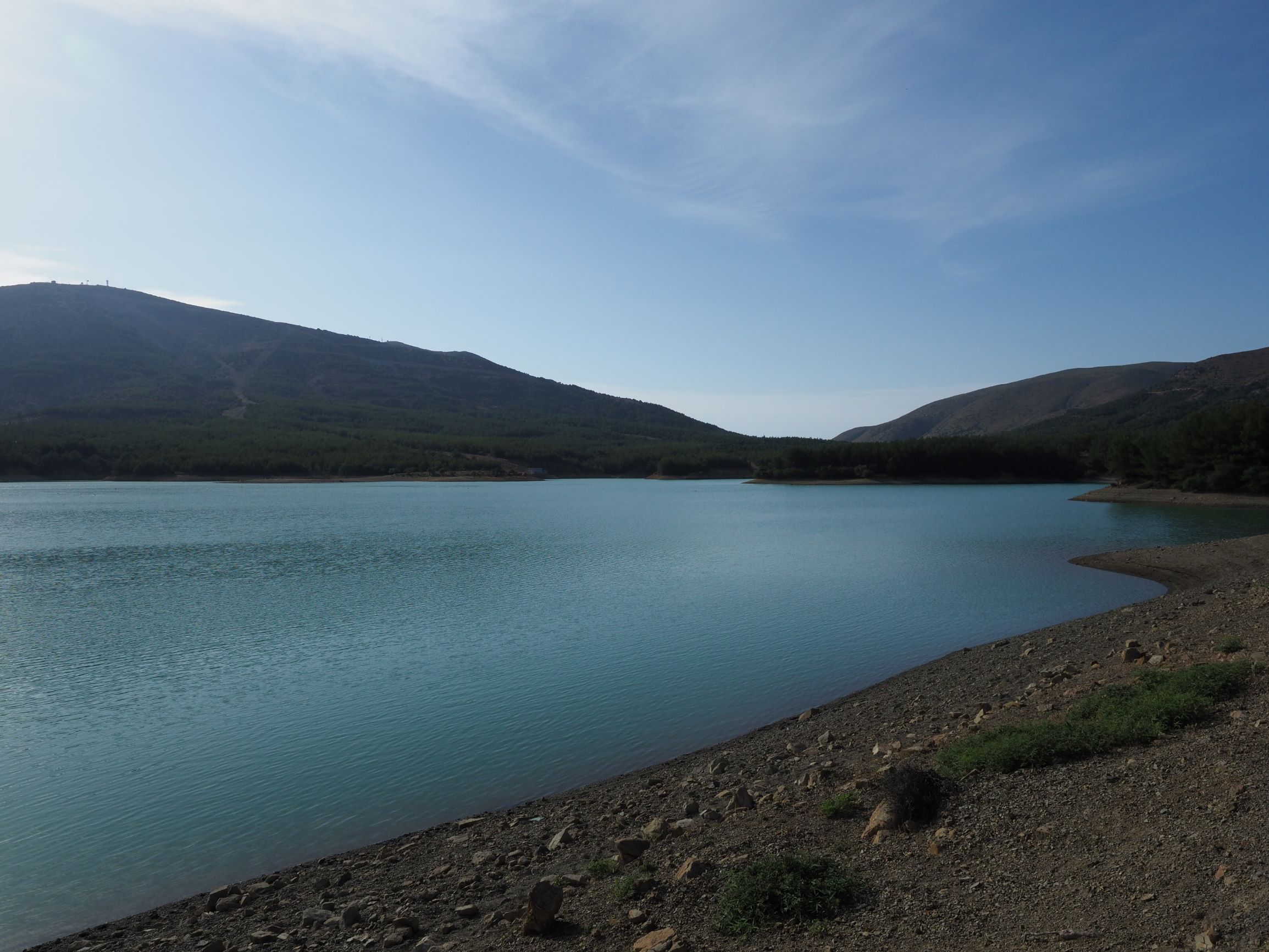
Dam takes water from Uğurlu Göleti 2. Small channel in the surrounding area, drain the water.Almost no vegetation. Pines planted close to the lake. Vitex and Nerium, shrubby vegetation.
Wetland data
Basic information
Wetland location:
Inland
Wetland type:
Artificial
Wetland area:
28.0 Ha
Hydrological interaction:
Yes
Water salinity:
Fresh (< 0.5 g/l)
Type of fresh water input:
Torrent / Stream
Surface water runoff
Outflow controlled by dam
Open water area (%):
> 95
Hydroperiod:
Permanent
Geographic information
Province:
Canakkale
Municipality:
Gokceada
Island:
Gokceada
Longitude:
25.712841 East
Latitude:
40.138298 North
Biological significance
Biological significance:
Low
Ramsar wetland type
Type
Coverage (%)
6 -- Water storage areas; reservoirs/barrages/dams/impoundments (generally over 8 ha)
> 95
Property status
Government - Municipal
Vegetation types
Type
Coverage (%)
Shrubby / Arborescent
< 5
Other
< 5
Flora
Species
Presence status
References
Nerium oleander
Olea europaea
Present
Pinus brutia
Co-dominant
Scirpoides holoschoenus
Images
WWF Turkey. (2018). TrIsWet – Database of the Turkish island wetlands. Updated: 04.2024