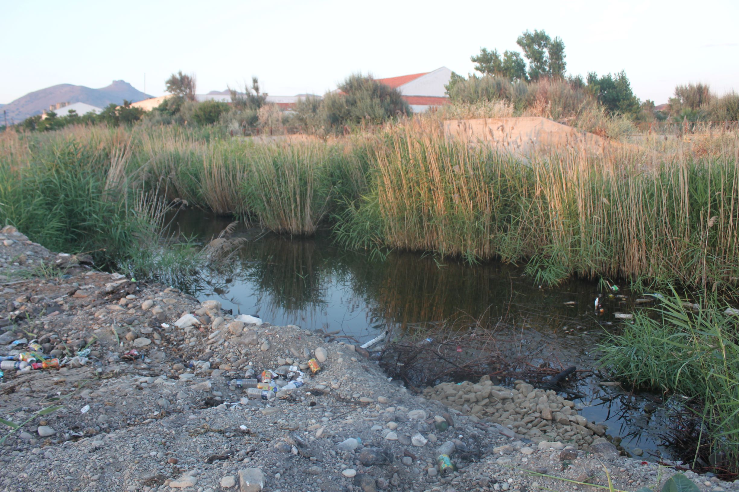
TR222GOK011 - Ugurlu Stream 2
Wetland data
Basic information
| Wetland location: |
Marine/Coastal |
| Wetland type: |
Natural |
| Wetland area: |
1.0 Ha |
| Hydrological interaction: |
- |
| Water salinity: |
Fresh (< 0.5 g/l) |
| Open water area (%): |
26 - 50 |
| Hydroperiod: |
Permanent |
Geographic information
| Province: |
Canakkale |
| Municipality: |
Gokceada |
| Island: |
Gokceada |
| Longitude: |
25.720757 East |
| Latitude: |
40.109262 North |
Wetland condition
| Wetland status (MEDWET): |
3 - Original habitats/landform partially modified (10-50% untouched) |
Ramsar wetland type
| Type |
Coverage (%) |
| F -- Estuarine waters; permanent water of estuaries and estuarine systems of deltas |
> 95 |
Property status
Protection statuses
| Protection status category |
Protection status subcategory |
Area's name |
Coverage area (%) |
Legislation |
| National |
Natural Protected Area |
|
70 |
|
Habitat types
| Type |
Coverage (%) |
| 72A0 Reed thickets |
5 - 25 |
|
|
Vegetation types
| Type |
Coverage (%) |
| Ammophilous |
< 5 |
| Emergent |
5 - 25 |
Flora
| Species |
Presence status |
References |
| Cakile maritima |
|
|
| Nerium oleander |
Present |
|
| Phragmites communis |
|
|