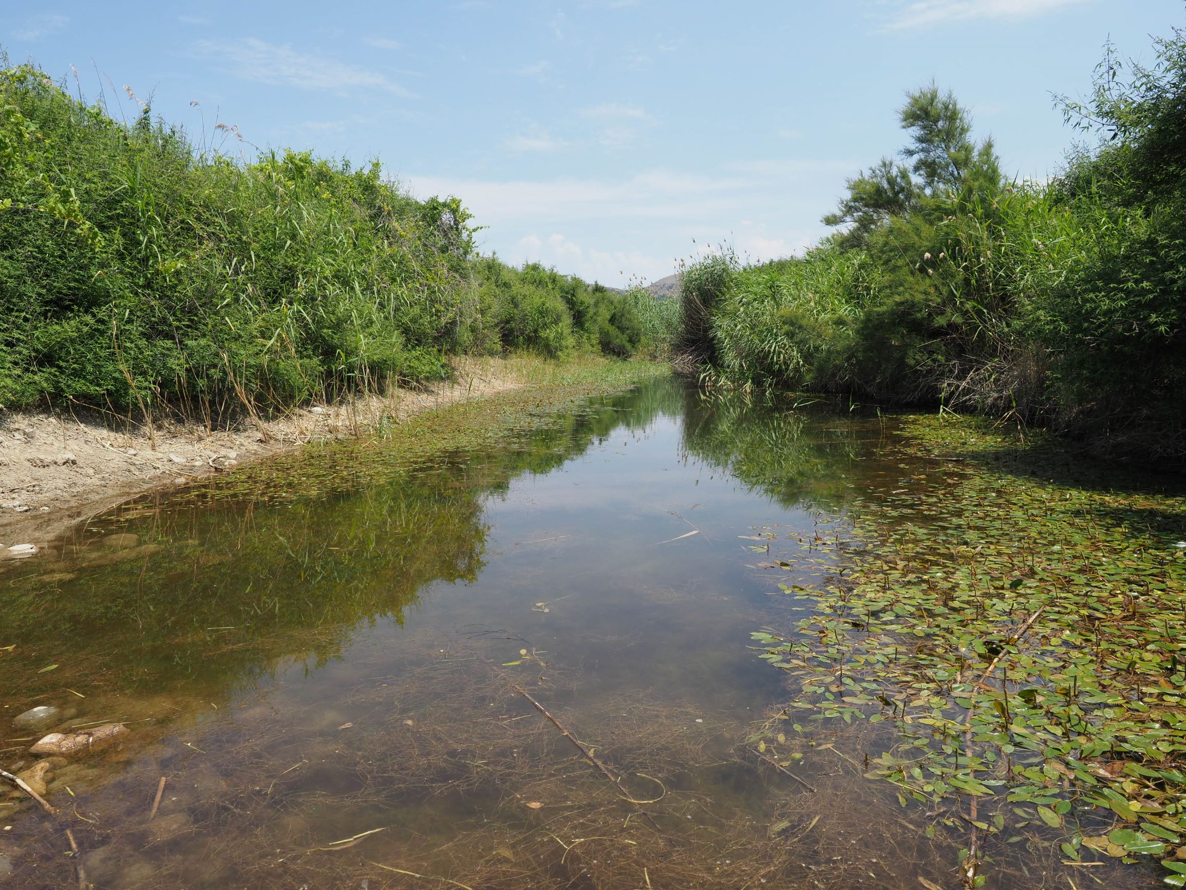
TR222GOK012 - Savur Stream
Wetland data
Basic information
| Wetland location: |
Marine/Coastal |
| Wetland type: |
Natural |
| Wetland area: |
1.7 Ha |
| Hydrological interaction: |
Yes |
| Water salinity: |
Fresh (< 0.5 g/l) |
| Open water area (%): |
76 - 95 |
| Hydroperiod: |
Permanent |
Geographic information
| Province: |
Canakkale |
| Municipality: |
Gokceada |
| Island: |
Gokceada |
| Longitude: |
25.771544 East |
| Latitude: |
40.099776 North |
Wetland condition
| Wetland status (MEDWET): |
1 - Untouched. No signs of man-made changes |
Ramsar wetland type
| Type |
Coverage (%) |
| F -- Estuarine waters; permanent water of estuaries and estuarine systems of deltas |
> 95 |
Property status
Habitat types
| Type |
Coverage (%) |
| 92D0 Southern riparian galleries and thickets (Nerio-Tamaricetea and Securinegion tinctoriae) |
26 - 50 |
| 3140 Hard oligo-mesotrophic waters with benthic vegetation of Chara spp. |
|
Vegetation types
| Type |
Coverage (%) |
| Shrubby / Arborescent |
5 - 25 |
| Floating |
< 5 |
Flora
| Species |
Presence status |
References |
| Juncus sp. |
Present |
|
| Matthiola tricuspidata |
|
|
| Phragmites australis |
Present |
|
| Potamogeton natans |
|
|
| Ranunculus sp. |
Dominant |
|
| Salsola kali |
|
|
| Salsola kali |
|
|
| Tamarix sp. |
Co-dominant |
|
| Vitex agnus-castus |
Co-dominant |
|