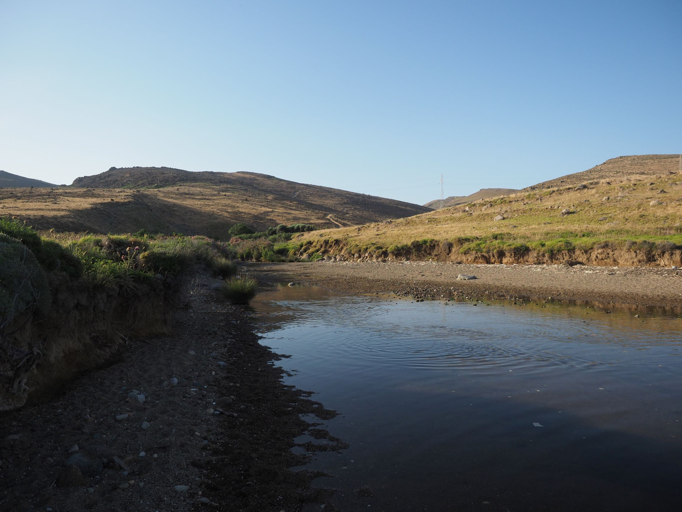
TR222GOK013 - Eselek Road (South) Estuary
Wetland data
Basic information
| Wetland location: |
Marine/Coastal |
| Wetland type: |
Natural |
| Wetland area: |
1.5 Ha |
| Hydrological interaction: |
- |
| Water salinity: |
Brackish (5.0-18.0 g/l) |
| Open water area (%): |
26 - 50 |
| Hydroperiod: |
Seasonal |
Geographic information
| Province: |
Canakkale |
| Municipality: |
Gokceada |
| Island: |
Gokceada |
| Longitude: |
25.871302 East |
| Latitude: |
40.110637 North |
Wetland condition
| Wetland status (MEDWET): |
2 - Original habitats/landform still predominant (>50%) |
Ramsar wetland type
| Type |
Coverage (%) |
| F -- Estuarine waters; permanent water of estuaries and estuarine systems of deltas |
> 95 |
Property status
Protection statuses
| Protection status category |
Protection status subcategory |
Area's name |
Coverage area (%) |
Legislation |
| National |
Natural Protected Area |
|
60 |
|
Habitat types
| Type |
Coverage (%) |
| 92D0 Southern riparian galleries and thickets (Nerio-Tamaricetea and Securinegion tinctoriae) |
26 - 50 |
| 1410 Mediterranean salt meadows (Juncetalia maritimi) |
< 5 |
Vegetation types
| Type |
Coverage (%) |
| Shrubby / Arborescent |
26 - 50 |
| Wet meadow |
< 5 |
Flora
| Species |
Presence status |
References |
| Chara sp. |
|
|
| Nerium oleander |
|
|
| Vitex agnus-castus |
|
|