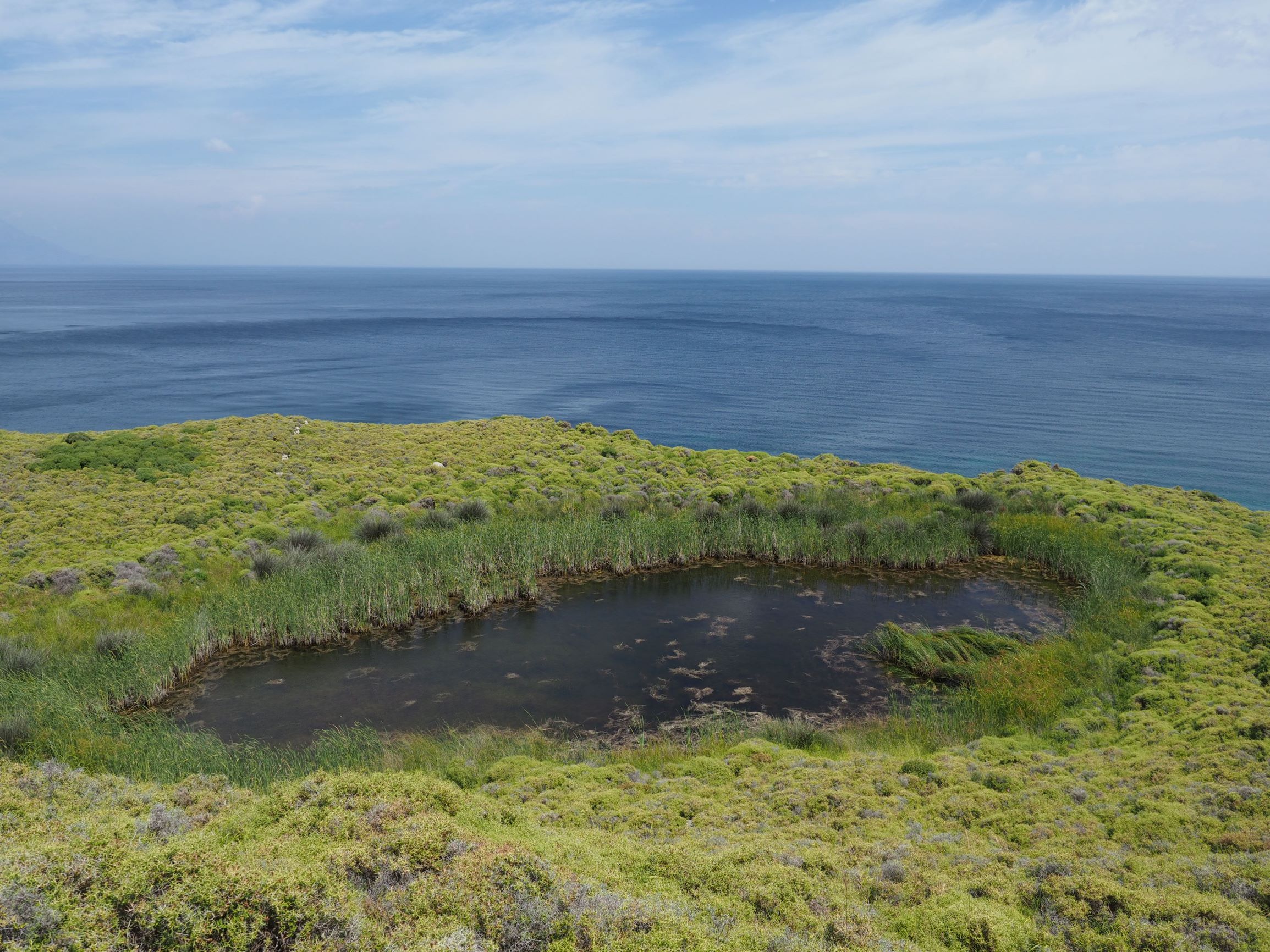
Tp -- Permanent freshwater marshes/pools; ponds (below 8 ha), marshes and swamps on inorganic soils; with emergent vegetation water-logged for at least most of the growing season
> 95
U -- Non-forested peatlands; includes shrub or open bogs, swamps, fens
5 - 25
Property status
Government - Municipal
Protection statuses
Protection status category
Protection status subcategory
Area's name
Coverage area (%)
Legislation
National
Natural Protected Area
100
Habitat types
Type
Coverage (%)
1410 Mediterranean salt meadows (Juncetalia maritimi)
5 - 25
Vegetation types
Type
Coverage (%)
Wet meadow
5 - 25
Emergent
< 5
Floating-leaved
< 5
Flora
Species
Presence status
References
Ranunculus aquatilis
Scirpoides holoschoenus
Typha sp.
Images
WWF Turkey. (2018). TrIsWet – Database of the Turkish island wetlands. Updated: 05.2024