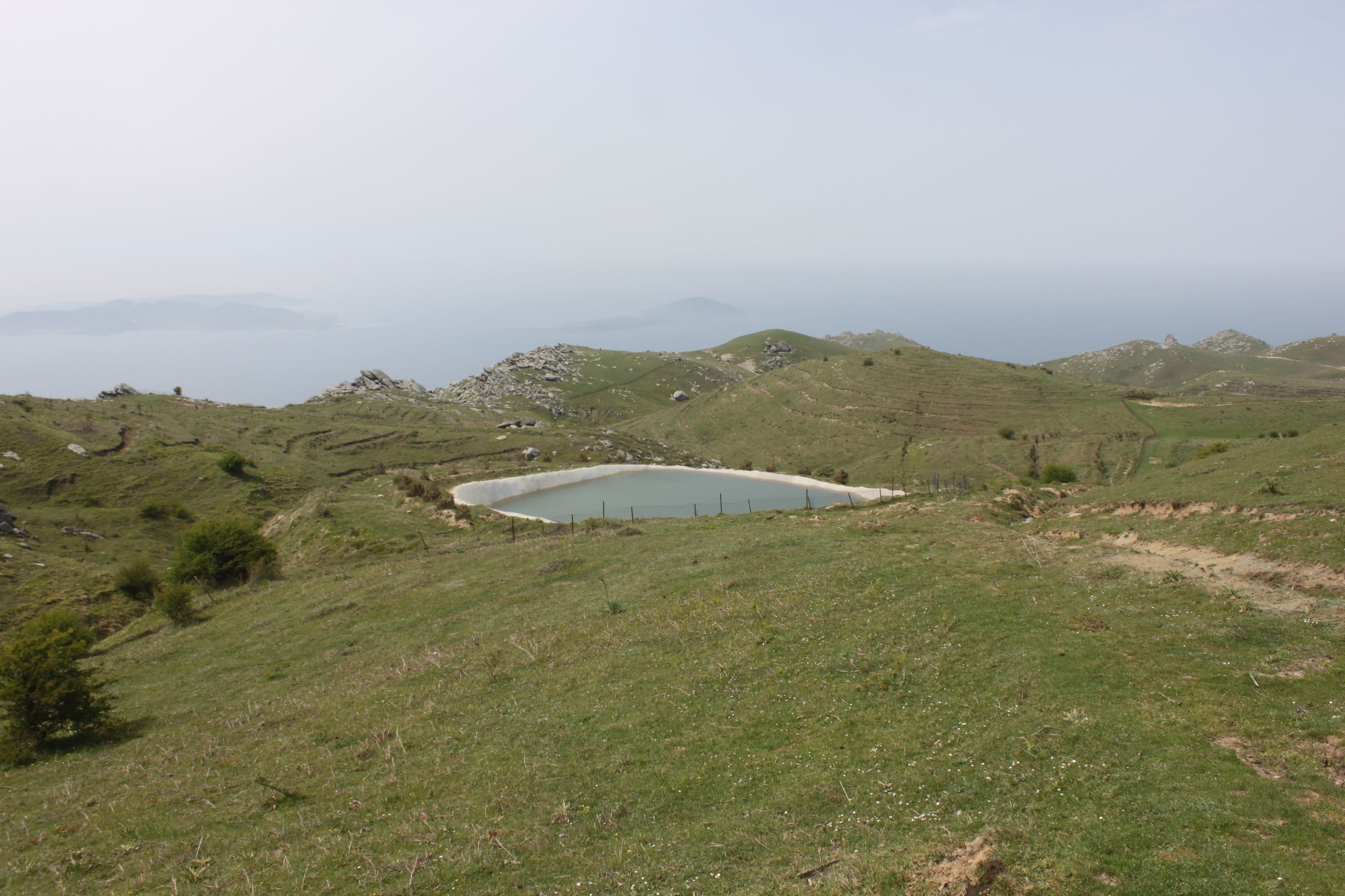
TR221MAR004 - Marmara Irrigation Pond 3
Wetland data
Basic information
| Wetland location: |
Inland |
| Wetland type: |
Artificial |
| Wetland area: |
0.1 Ha |
| Hydrological interaction: |
- |
| Water salinity: |
Fresh (< 0.5 g/l) |
| Type of fresh water input: |
Other |
| Surface water runoff |
Outflow controlled by pipeline |
| Open water area (%): |
> 95 |
| Hydroperiod: |
Permanent |
Geographic information
| Province: |
Balikesir |
| Municipality: |
Marmara Adalar |
| Island: |
Marmara |
| Longitude: |
27.576148 East |
| Latitude: |
40.604717 North |
Biological significance
| Biological significance: |
Low |
Ramsar wetland type
| Type |
Coverage (%) |
| 2 -- Ponds; includes farm ponds, stock ponds, small tanks; (generally below 8 ha) |
> 95 |
Property status
Habitat types
| Type |
Coverage (%) |
| 5210 Arborescent matorral with Juniperus spp. |
< 5 |
Vegetation types
| Type |
Coverage (%) |
| Shrubby / Arborescent |
< 5 |
| Other |
< 5 |
Flora
| Species |
Presence status |
References |
| Crataegus monogyna |
Present |
|
| Ononis spinosa |
Present |
|