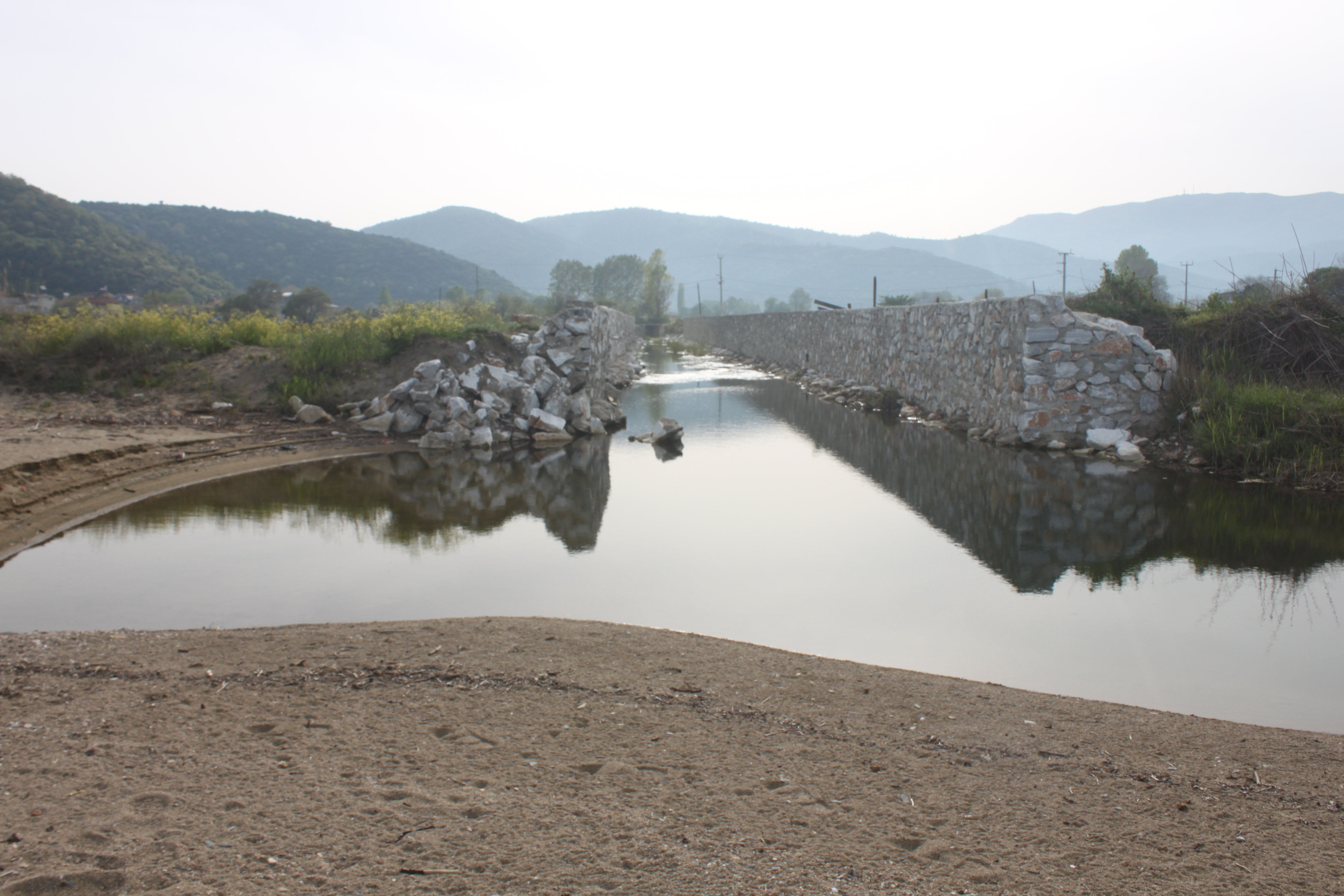
TR221MAR008 - Topagac Wetland System
Wetland data
Basic information
| Wetland location: |
Marine/Coastal |
| Wetland type: |
Natural |
| Wetland area: |
6.4 Ha |
| Hydrological interaction: |
- |
| Water salinity: |
Brackish (5.0-18.0 g/l) |
| Open water area (%): |
< 5 |
| Hydroperiod: |
Permanent |
Geographic information
| Province: |
Balikesir |
| Municipality: |
Marmara Adalar |
| Island: |
Marmara |
| Longitude: |
27.661358 East |
| Latitude: |
40.599323 North |
Wetland condition
| Wetland status (MEDWET): |
4 - Original habitats/landform highly modified (<10% untouched) |
Ramsar wetland type
| Type |
Coverage (%) |
| E -- Sand, shingle or pebble shores; includes sand bars, spits and sandy islets; includes dune systems and humid dune slacks |
5 - 25 |
| N -- Seasonal/intermittent/irregular rivers/streams/creeks |
< 5 |
| Ts -- Seasonal/intermittent freshwater marshes/pools on inorganic soils; includes sloughs, potholes, seasonally flooded meadows, sedge marshes |
26 - 50 |
Property status
Protection statuses
| Protection status category |
Protection status subcategory |
Area's name |
Coverage area (%) |
Legislation |
| National |
Natural Protected Area |
|
100 |
|
Activities on wetland
| Activity |
Intensity |
| 140 = Grazing |
Medium |
| 170 = Animal breeding |
Medium |
| 490 = Other urbanisation industrial and similar activities |
Medium |
| 530 = Improved access to site |
Low |
| 830 = Canalisation |
High |
| 853 = management of water levels |
Medium |
Activities on catchment area
| Activity |
Intensity |
| 140 = Grazing |
Medium |
| 170 = Animal breeding |
Medium |
| 504 = port areas |
Low |
| 530 = Improved access to site |
Low |
Impacts
| Impact |
Intensity |
| AS- = Loss of scenic value |
Medium |
| EE- = Increase of economic potential |
Medium |
| ER- = Increase in flow regulation |
Medium |
| HF- = Habitat fragmentation |
Low |
| LD- = Decrease in sediment removal/retention |
High |
| LW- = Decrease in wilderness/wildlife values |
Medium |
| VC- = Change in vegetative species composition |
Medium |
| WGT = Lowering of water table |
Unknown |
Habitat types
| Type |
Coverage (%) |
| 1410 Mediterranean salt meadows (Juncetalia maritimi) |
5 - 25 |
| 2210 Crucianellion maritimae fixed beach dunes |
5 - 25 |
| 72B0 Beds of large sedges |
< 5 |
Vegetation types
| Type |
Coverage (%) |
| Emergent |
< 5 |
| Shrubby / Arborescent |
5 - 25 |
| Wet meadow |
26 - 50 |
Flora
| Species |
Presence status |
References |
| Anthemis tomentosa |
|
|
| Cakile maritima |
|
|
| Centaurea spinosa |
|
|
| Elymus farctus |
|
|
| Ipomoea stolonifera |
|
|
| Iris pseudacorus |
|
|
| Juncus maritimus |
|
|
| Leucojum aestivum |
|
|
| Matthiola tricuspidata |
|
|
| Medicago marina |
|
|
| Ononis spinosa |
Present |
|
| Phragmites communis |
|
|
| Polygonum maritimum |
|
|
| Ranunculus repens |
|
|
| Rubus sp. |
|
|
Fauna
Birds |
Number of individuals |
Nesting |
References |
| Larus michahellis |
10-100 |
Unknown |
|
| Ardea purpurea |
1-10 |
Unknown |
|
| Acrocephalus scirpaceus |
1-10 |
Possible nesting |
|
| Cecropis daurica |
1-10 |
Possible nesting |
|
| Corvus corax |
1-10 |
Unknown |
|
| Motacilla flava |
1-10 |
Possible nesting |
|
| Pica pica |
1-10 |
Possible nesting |
|
| Otus scops |
1-10 |
Possible nesting |
|