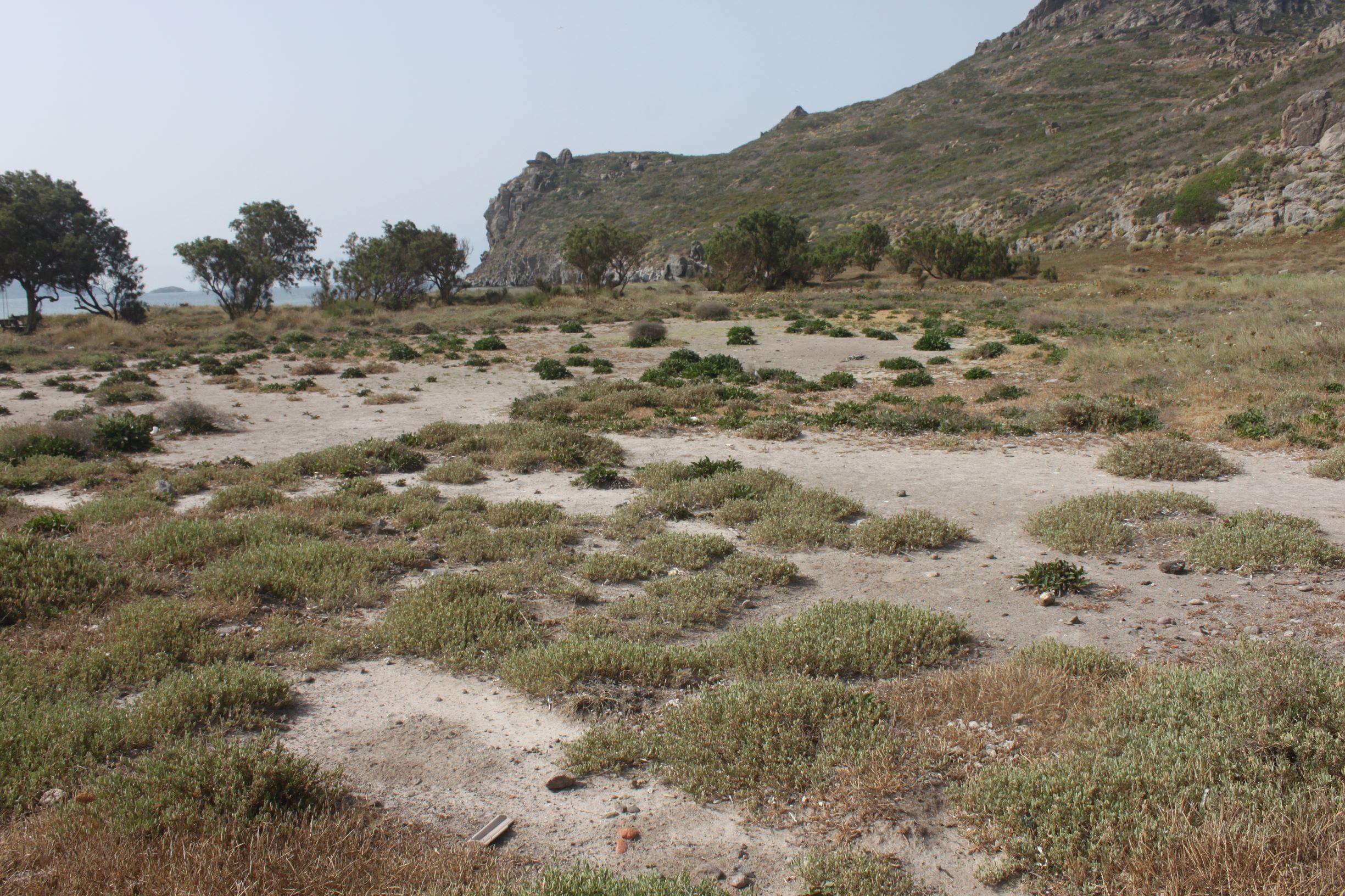
TR323TUR001 - Catal Island Temporary Pond
Wetland data
Basic information
| Wetland location: |
Marine/Coastal |
| Wetland type: |
Natural |
| Wetland area: |
0.2 Ha |
| Hydrological interaction: |
- |
| Water salinity: |
Brackish (5.0-18.0 g/l) |
| Open water area (%): |
< 5 |
| Hydroperiod: |
Seasonal |
Geographic information
| Province: |
Mugla |
| Municipality: |
Turgutreis |
| Island: |
Catal |
| Longitude: |
27.216938 East |
| Latitude: |
37.006067 North |
Wetland condition
| Wetland status (MEDWET): |
3 - Original habitats/landform partially modified (10-50% untouched) |
Ramsar wetland type
| Type |
Coverage (%) |
| G -- Intertidal mud, sand or salt flats |
> 95 |
| Zk(a) -- Karst and other subterranean hydrological systems, marine/coastal |
< 5 |
Property status
Protection statuses
| Protection status category |
Protection status subcategory |
Area's name |
Coverage area (%) |
Legislation |
| National |
Natural Protected Area |
|
100 |
|
Ecosystem services
| Type of ecosystem service |
Ecosystem service |
Scale of Βenefit (%) |
Importance |
| Supporting services |
Provision of habitat |
|
|
Activities on wetland
| Activity |
Intensity |
| 162 = artificial planting |
Low |
| 629 = other outdoor sports and leisure activities |
Unknown |
| 700 = Pollution |
Low |
| 700 = Pollution |
Low |
| 920 = Drying out |
High |
Activities on catchment area
| Activity |
Intensity |
| 162 = artificial planting |
Medium |
| 629 = other outdoor sports and leisure activities |
Unknown |
| 700 = Pollution |
Low |
| 703 = soil pollution |
Low |
Vegetation types
| Type |
Coverage (%) |
| Halophytic |
< 5 |
| Shrubby / Arborescent |
< 5 |
| Other |
< 5 |
Flora
| Species |
Presence status |
References |
| Atriplex portulacoides |
Present |
|
| Cichorium spinosum |
Present |
|
| Cyperus sp. |
Present |
|
| Euphorbia paralias |
Present |
|
| Limonium gmelini |
Present |
|
| Pistacia lentiscus |
Present |
|
| Tamarix sp. |
Present |
|
Fauna
Birds |
Number of individuals |
Nesting |
References |
| Buteo buteo |
1-10 |
Not nesting |
|
| Larus michahellis |
1-10 |
Not nesting |
|
| Corvus corax |
1-10 |
Not nesting |
|
| Motacilla alba |
1-10 |
Possible nesting |
|
| Oenanthe oenanthe |
1-10 |
Possible nesting |
|
| Passer domesticus |
1-10 |
Possible nesting |
|
| Sylvia curruca |
1-10 |
Possible nesting |
|