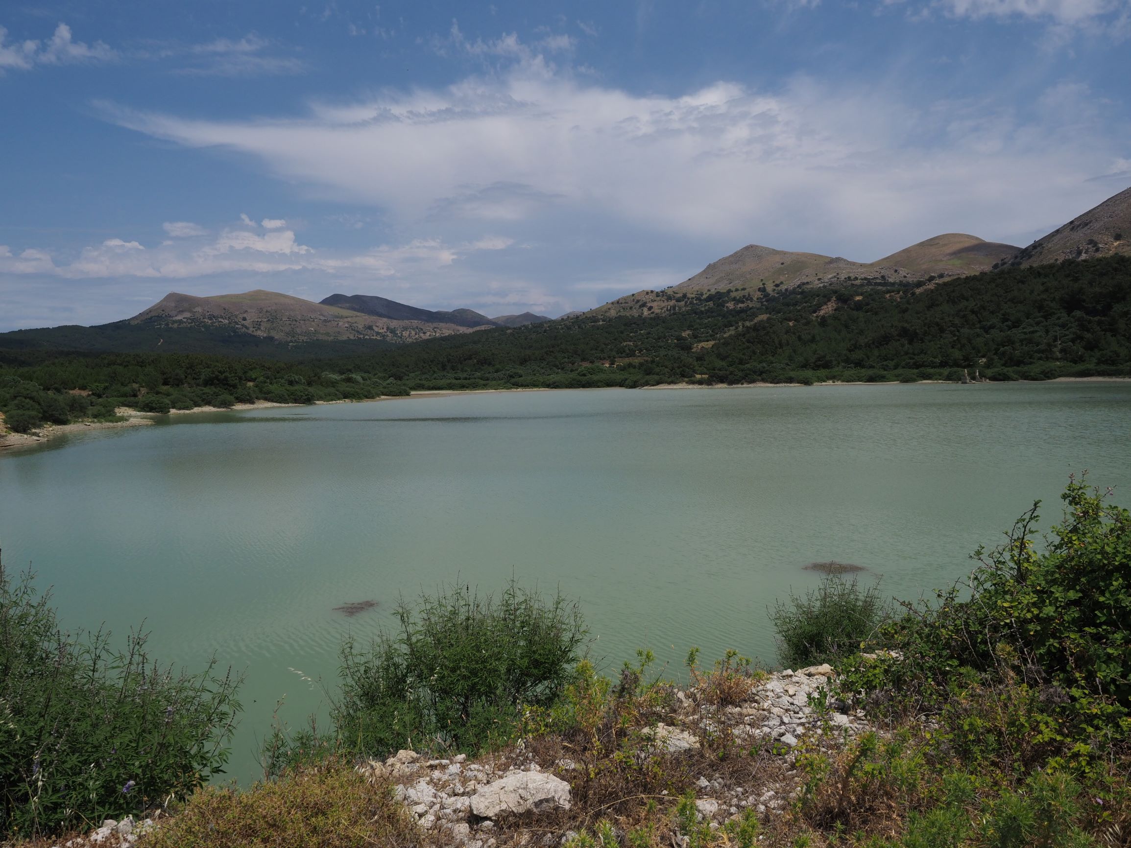
TR222GOK005 - Ugurlu Pond 2
Wetland data
Basic information
| Wetland location: |
Inland |
| Wetland type: |
Artificial |
| Wetland area: |
13.0 Ha |
| Hydrological interaction: |
- |
| Water salinity: |
Fresh (< 0.5 g/l) |
| Type of fresh water input: |
Torrent / Stream - Unconfined aquifer |
| Surface water runoff |
Outflow controlled by dam |
| Open water area (%): |
> 95 |
| Hydroperiod: |
Permanent |
Geographic information
| Province: |
Canakkale |
| Municipality: |
Gokceada |
| Island: |
Gokceada |
| Longitude: |
25.737676 East |
| Latitude: |
40.140862 North |
Biological significance
| Biological significance: |
Medium |
Ramsar wetland type
| Type |
Coverage (%) |
| 6 -- Water storage areas; reservoirs/barrages/dams/impoundments (generally over 8 ha) |
> 95 |
Property status
Habitat types
| Type |
Coverage (%) |
| 92D0 Southern riparian galleries and thickets (Nerio-Tamaricetea and Securinegion tinctoriae) |
5 - 25 |
Vegetation types
| Type |
Coverage (%) |
| Shrubby / Arborescent |
5 - 25 |
Flora
| Species |
Presence status |
References |
| Vitex agnus-castus |
|
|
| Vitex agnus-castus |
Co-dominant |
|